After three years of the cooler La Nina pattern, which often lowers global temperatures slightly, the hotter El Nino is back, said the US National Oceanic and Atmospheric Administration.
A weather cycle El Nino
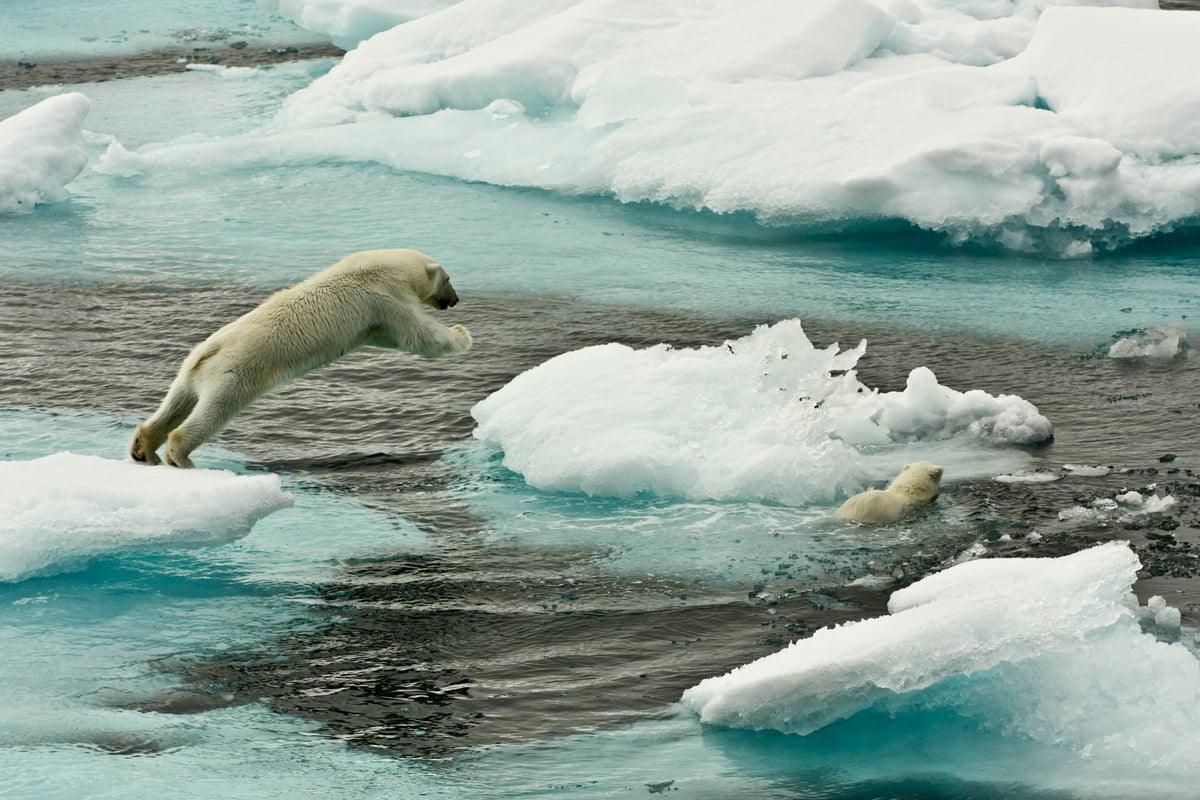
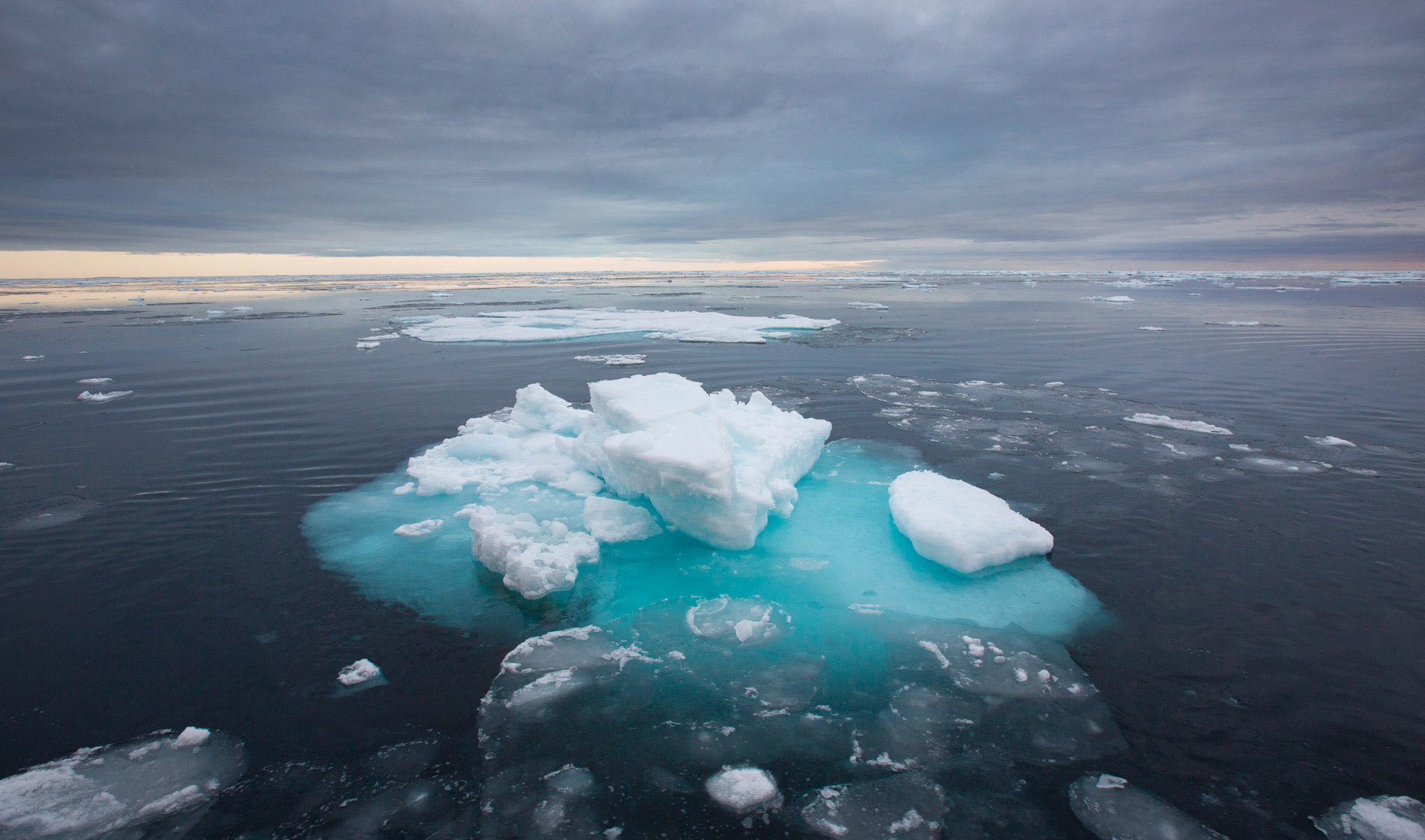
A weather cycle known as El Nino has officially formed in the Pacific Ocean. Which will likely add more heat to a warming planet.
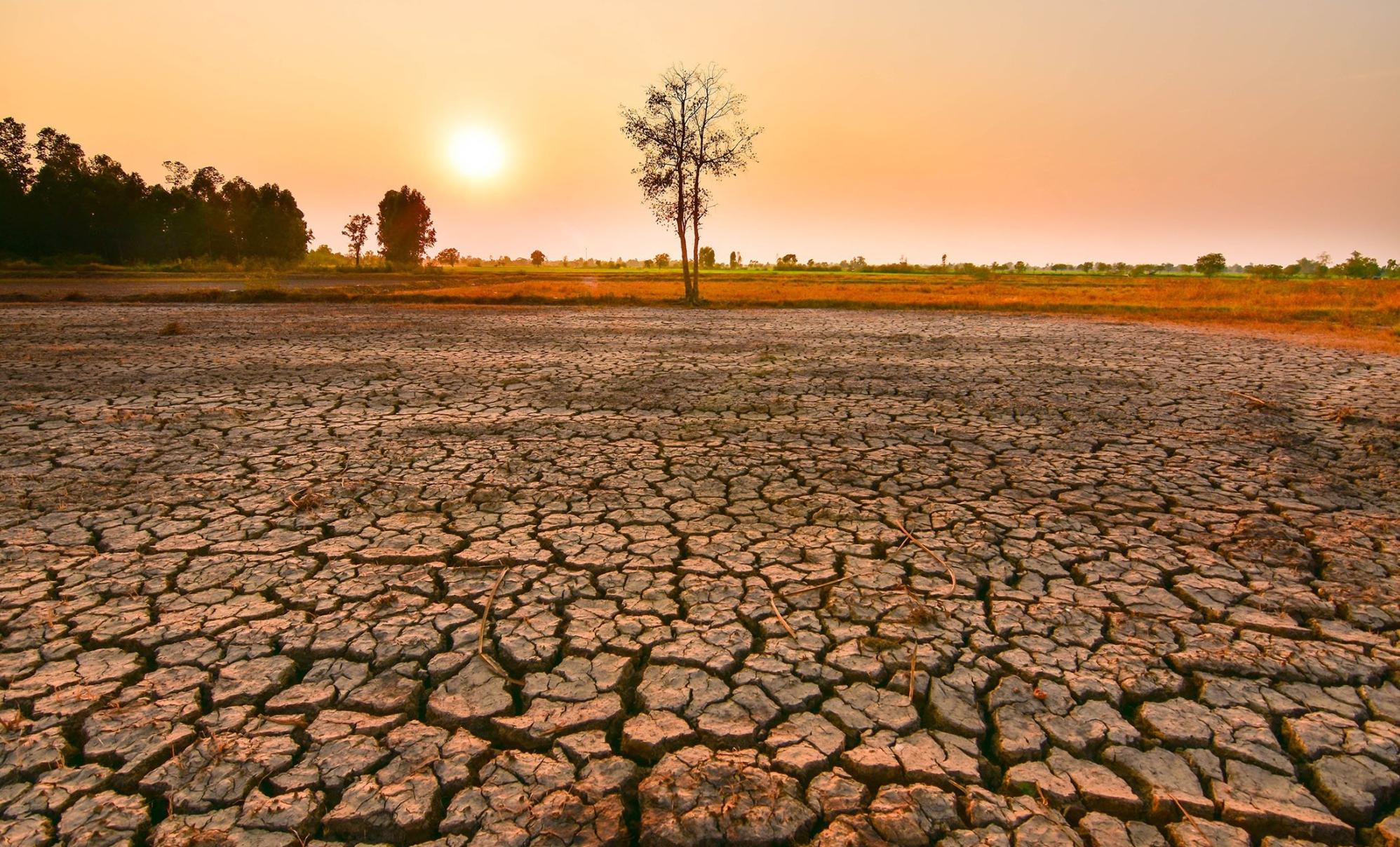
The pattern could contribute to extreme events including droughts and cyclones across the world.
It formed a month or two earlier than most El Ninos do, which “gives it room to grow”, said the US National Oceanic and Atmospheric Administration (NOAA).
A strong El Nino has led to record global warmth in the past, like in 2016. And coupled with warming from climate change, 2023 or 2024 could be even hotter.
That is declared when ocean temperatures in the tropical eastern Pacific Ocean, near the coast of South America, rise 0.5C above the long-term average.
That part of the Pacific shifts weather patterns across the globe, often by moving the airborne paths for storms.
The effects of El Nino often peak during December

There is a 56% chance that when this peaks in strength it will be considered a strong event. Meaning eastern Pacific sea surface temperatures are at least 1.5C higher than normal.
And there is a 25% chance it reaches supersized levels. Said climate scientist Michelle L’Heureux, head of the NOAA’s forecast office.